

Mapplic
/Year
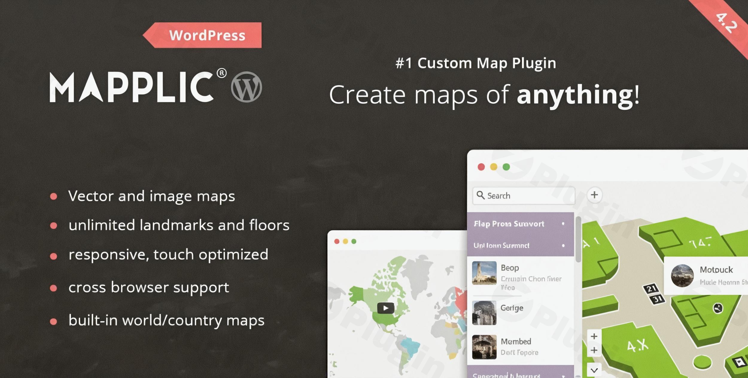
Dynamic Custom Vector and Image Mapping
Mapplic addresses a major challenge for website operators who need to present geographic or architectural layouts without relying on standard satellite mapping services. Instead of displaying a basic image file, this plugin converts vector files and standard image formats into highly interactive, responsive mapping modules. Users can hover, zoom, and select custom coordinates, making it an excellent utility for presenting specialized visual data directly inside WordPress.
What It Does
The plugin replaces generic mapping options by letting you upload custom floorplans, regional maps, or artistic vector illustrations. It overlays actionable data onto these files, turning points of interest into interactive nodes. Visitors can filter through categories, explore different floor tiers, and click individual landmarks to uncover descriptive tooltips, images, or external links. The entire engine runs smoothly on touch devices and desktop web browsers alike.
Who It Is For
Mapplic serves businesses and organizations operating complex physical facilities or unique regional setups. Property developers use it to display architectural layouts and subdivision plots. Retail complexes, airport terminals, and festival coordinators deploy it to provide clear navigation for multi-story buildings and sprawling event spaces. It is also utilized by digital publishers or educators who require illustrative, non-standard geographic charts to complement interactive content.
Key Capabilities
- Multi-Level Navigation: Add multiple floor tiers or overlapping structural layers with native toggle menus to switch views smoothly.
- Vector Map Scaling: Upload custom scalable vector graphics to ensure crisp rendering at extreme magnification levels without pixelation.
- Filtered Side Directory: Implement an adjustable sidebar directory alongside the map area to let users sort and find specific locations quickly.
- Deep Linking Infrastructure: Assign specific, shareable URLs to individual pins so visitors land directly on a targeted location node when following an external link.
- Data Management: Use built-in utilities to import and export bulk location landmarks via spreadsheet files, streamlining large setup configurations.
Practical WordPress Use Cases
- Shopping Center Layouts: Build detailed isometric maps for shopping malls, grouping stores by categories and stacking floors logically.
- Real Estate Lot Navigation: Display individual housing developments on a single master site plan, linking available plots to contact forms or property detail loops.
- Hospital and Campus Navigation: Outline massive medical or educational facilities, defining specific wings, rooms, and registration desks for visitors.
- Festival and Expo Guides: Map temporary exhibition halls, booth numbers, food stalls, and stages during public community events.
Setup and Compatibility Notes
Mapplic acts as a standalone mapping application layer within WordPress, rendering maps via shortcodes or page builder modules. Because it uses client-side JavaScript for fluid panning and zooming, standard asset management practices apply. For the best performance, high-resolution SVG or optimized web images should be prepared beforehand to ensure low memory consumption across mobile device browsers.
Reasons to Choose Mapplic on WPPick
Acquiring this mapping solution through WPPick lets administrators build clean interactive directories without recurring subscription models or usage-based third-party API keys. The package provides a self-contained layout environment, avoiding dependency on external asset tracking servers. This makes it a secure, predictable option for agencies and web professionals who need reliable custom vector graphics execution on client websites.
Latest Version Context
Detailed release notes are not available from the provided sources. Web records show version 8.7.6 was introduced in late February 2026, targeting code optimization, general maintenance, and compatibility adjustments for modern server environments. The core codebase maintains full functionality for multi-tier floorplans and smooth responsive scaling without altering legacy mapping data structures.
Frequently Asked Questions
Can I map physical locations without using global coordinates?
Yes. The plugin is purpose-built to operate using your custom static image files or vector illustrations as the base coordinate grid, completely independent of global mapping APIs or satellite tracking systems.
How many floors can be added to a single layout?
There is no built-in restriction on the number of levels or floors you can introduce. You can upload individual files for each floor tier and present them under a unified multi-level selector control.
Can location details be added using external spreadsheets?
Yes. The system includes an integration mechanism that reads location nodes, names, descriptions, and coordinate markers from formatted spreadsheet files, making bulk data updates efficient.
Is an SVG vector file required to make a map responsive?
No. While scalable vectors provide optimal sharpness when zooming deeply, standard image formats like PNG and JPG scale responsively within the user interface across mobile and desktop viewpoints.
I. Download Limits & Account Benefits
- Free Downloads: Each email address receives 3 downloads per day for free products
- Upgrade Benefits: Purchase any paid product to increase your daily download limit by 3 for each paid product
- No Account Required: You can download immediately by receiving the download link via email
- Account Recommended: Create an account for easier access to your order history and direct update downloads
II. Understanding GPL vs Official Versions
Important: The products available on WPPick are GPL-licensed versions, which differ from official developer versions. Before purchasing, please read our comprehensive guide: Understanding GPL & Official Differences at WPPick
Key Points:
- GPL versions may not include premium support from original developers
- Updates may be delayed compared to official releases
- Some premium features might have limitations
- Always consider your specific needs and support requirements
III. Support & Assistance
We’re here to help through multiple channels:
- Email Support: Direct email assistance for all inquiries
- Live Chat: Real-time support during business hours
- Comprehensive Documentation: Detailed guides and tutorials
IV. Order Tracking
Access your complete purchase history and download links anytime: Order History
V. Account Access
New to WPPick? Login or Create Account to manage your downloads and orders efficiently.
VI. Refund Protection
We stand behind our products with a clear refund policy. Review our terms: Refund Policy
VII. Privacy & Security
Your data security is our priority. Learn how we protect your information: Privacy Policy
VII. Terms of Service
Understanding our service terms ensures a smooth experience: Terms of Use
Quick Tips for Best Experience
- Verify Compatibility: Check plugin/theme compatibility with your WordPress version
- Backup First: Always backup your site before installing new plugins or themes
- Test Environment: Consider testing on a staging site first
- Stay Updated: Regularly check for updates in your account dashboard
- Read Documentation: Review any included documentation for optimal setup
Need Help?
If you have questions about downloads, licensing, or need technical assistance, don’t hesitate to contact our support team. We’re committed to ensuring you have the best possible experience with WPPick products.
Ready to get started? Your download adventure begins with just one click!
- Initial release of version 8.7.3